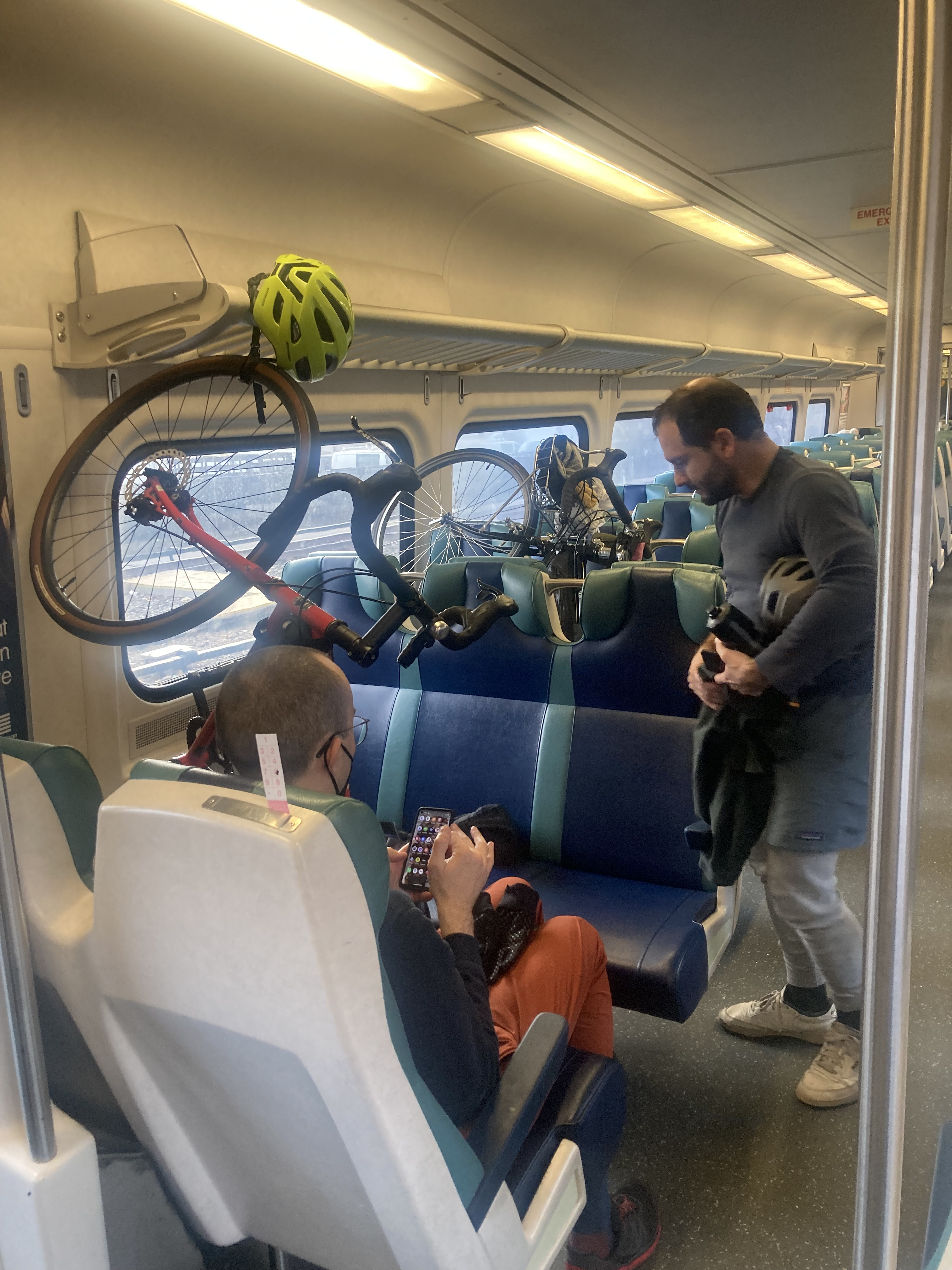
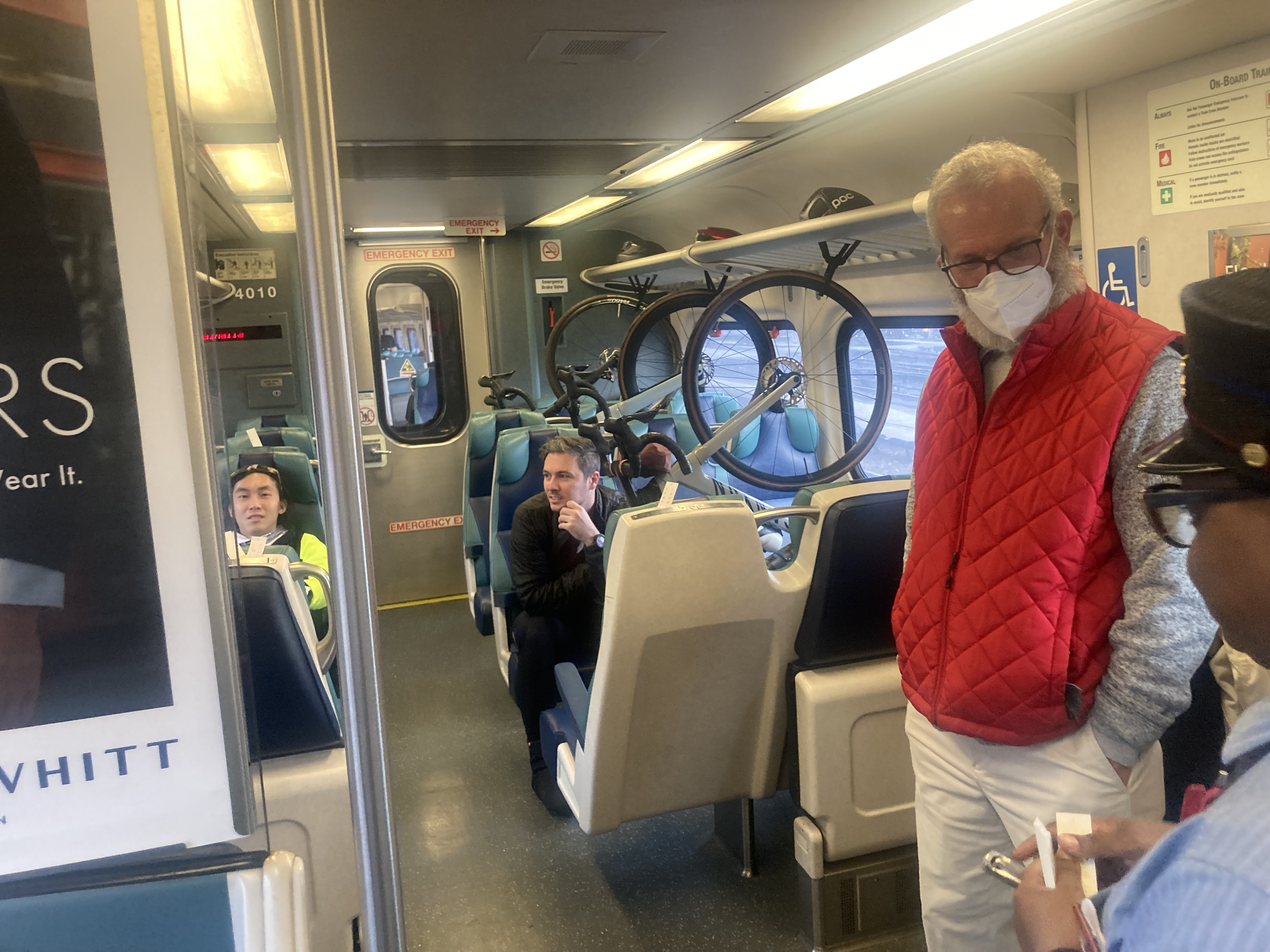
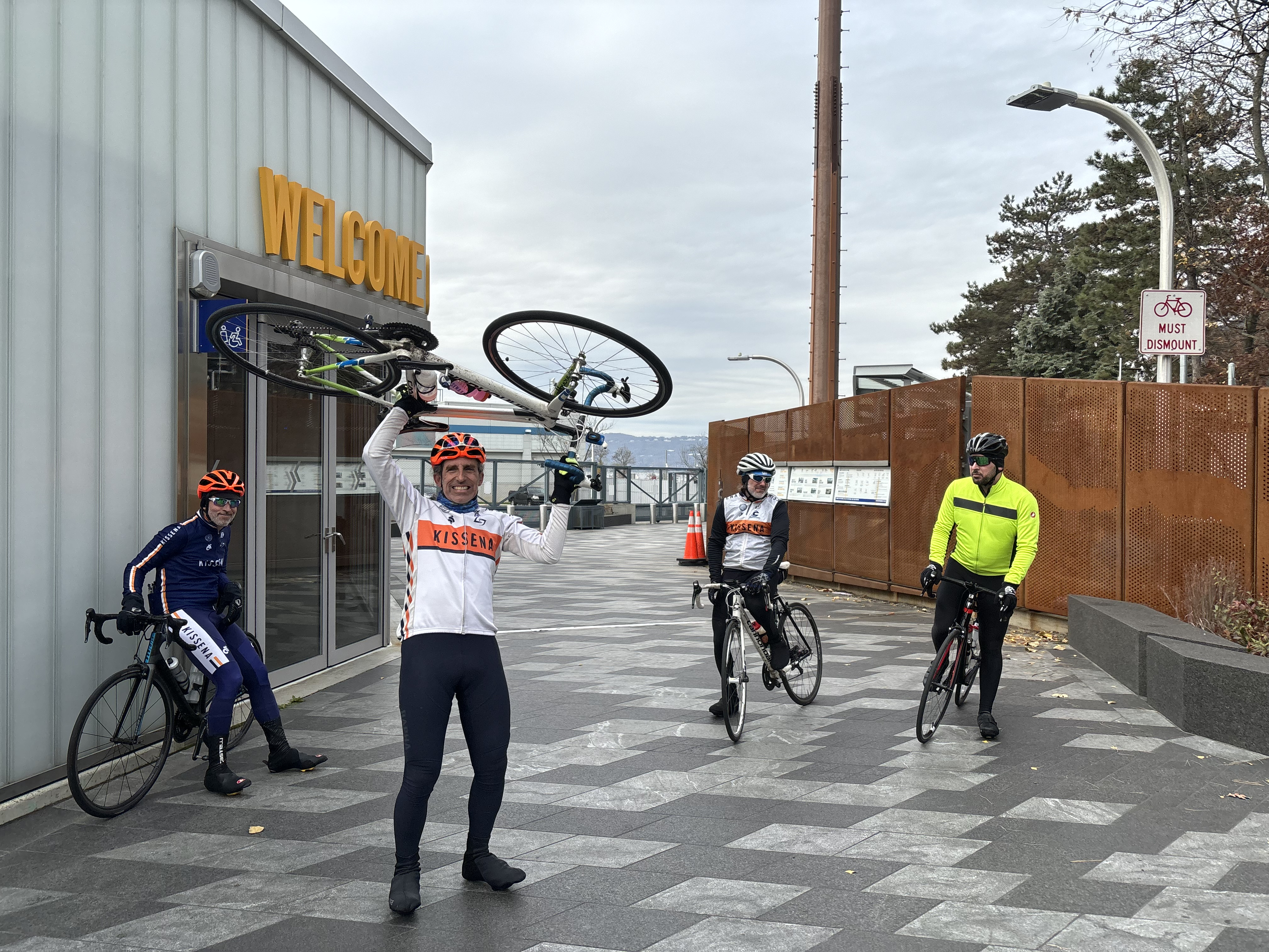
Looks like Blake made it back ok, even has all sorts of PRs to show for it, even at the end.
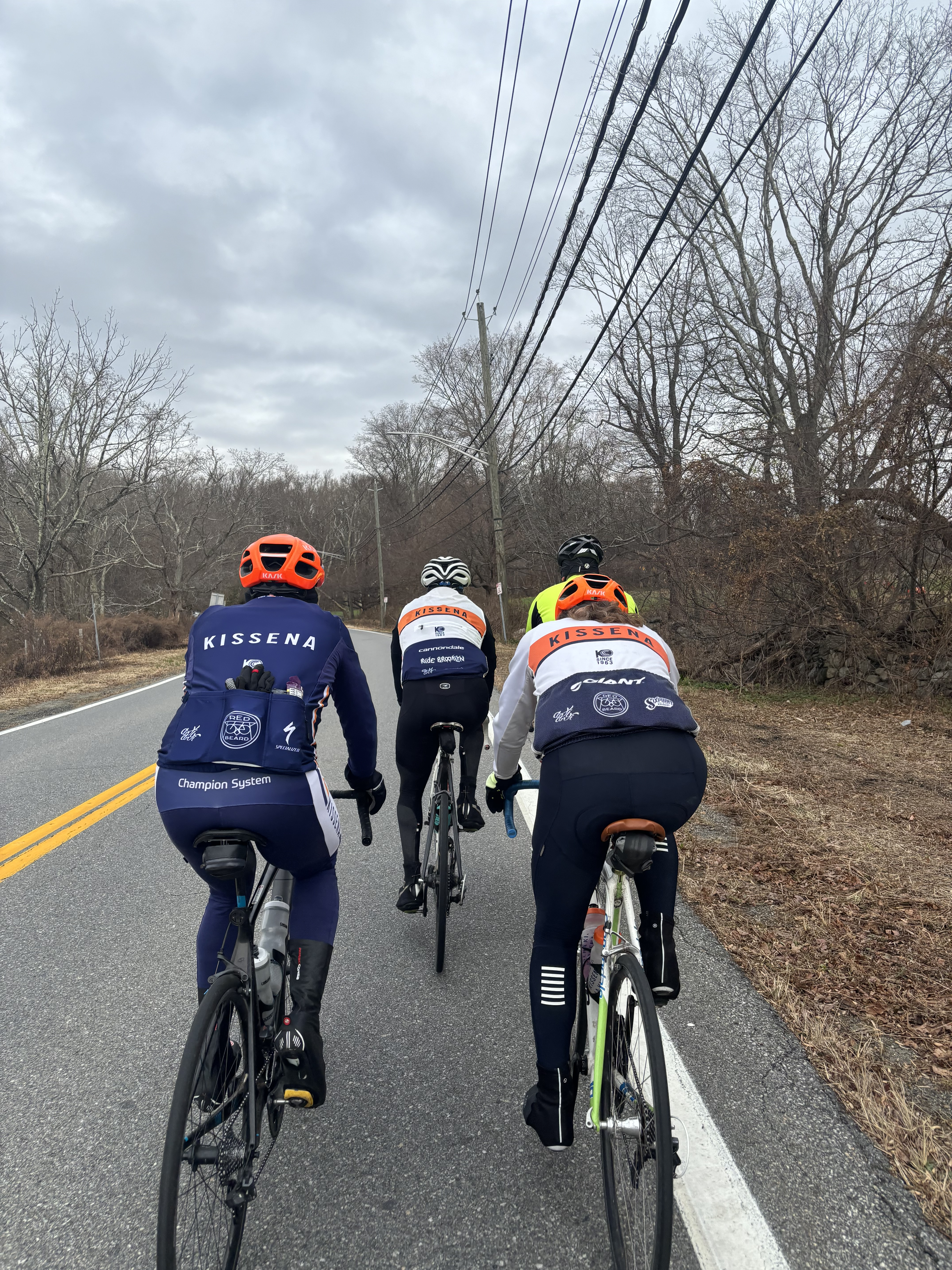
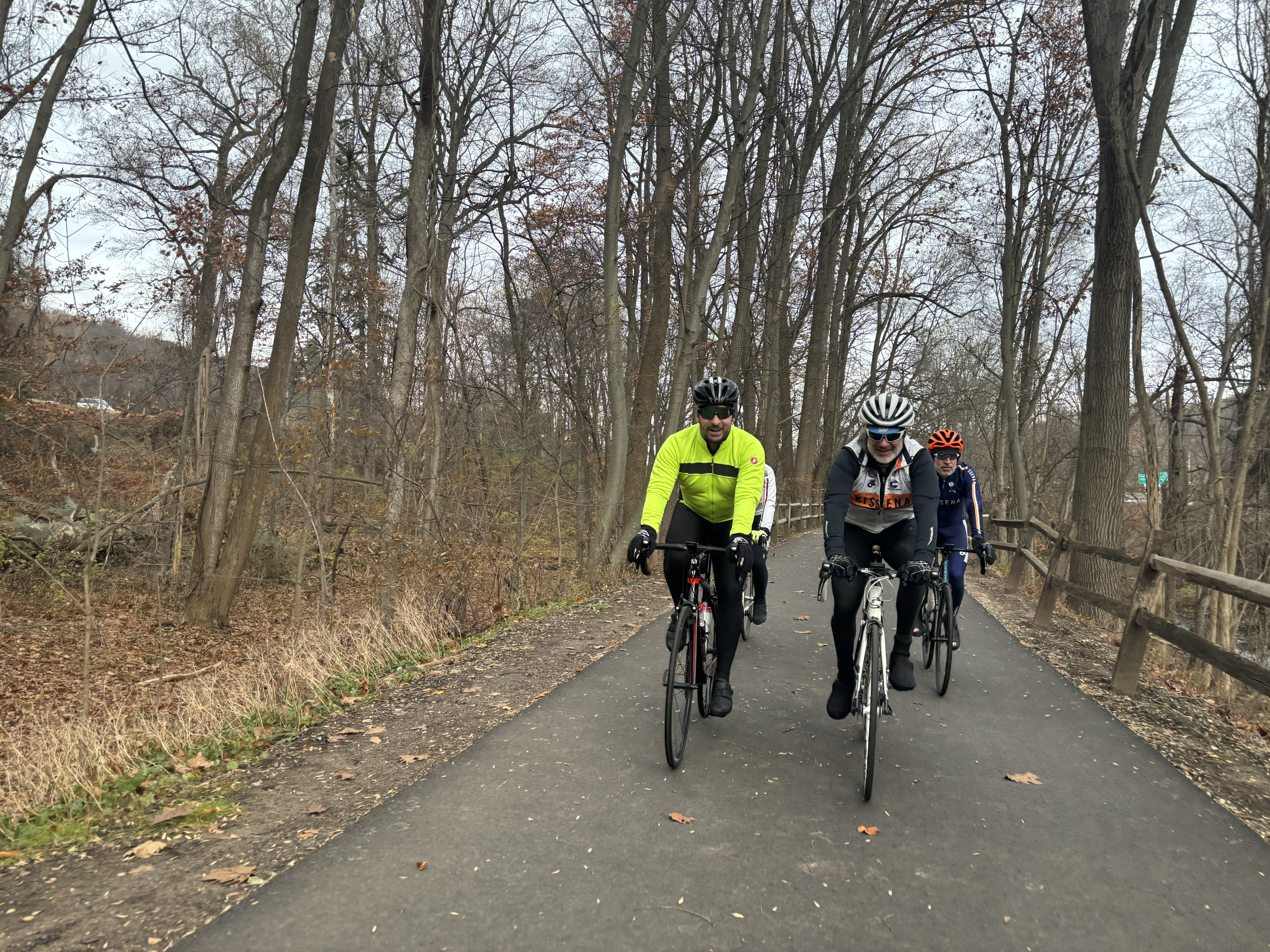
Simple ride, conversational pace. Good times.
https://www.strava.com/activities/10286886147



@GrantSeltzer went radio silent yesterday. I posted here and messaged him.eloy said:Does look pretty sweet, but wait…, you did the ride Grant proposed, the day he proposed, but didn’t ride w Grant?!?

mugwump said:
One surprising thing is that the RideWithGPS file stated there would be about 3400' of climbing in the 40 miles. My Bolt says it was 4,042', which might explain why I felt so slow.
Feels like maybe we discussed this before?
The default of all GPS bases cycle computers (Wahoo, Garmin, Hammerhead) is to record an estimated elevation based on barometric pressure, while ride with gps, strava routes, etc... will use actual topographic elevation.
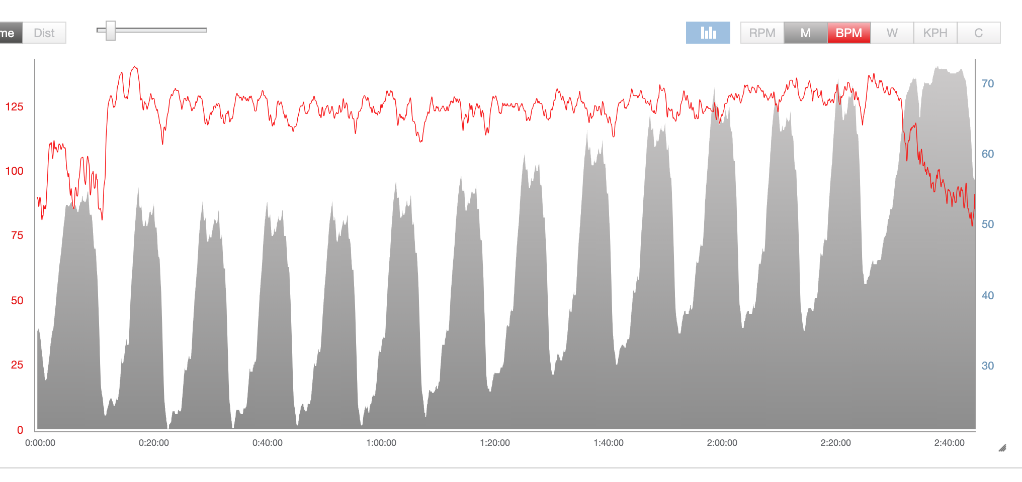
The barometric estimate mostly works, but it is just that, an estimate. This is specially obvious when we do laps in the park and the weather changes around us.
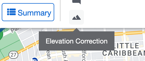
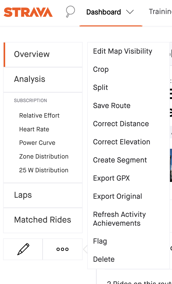
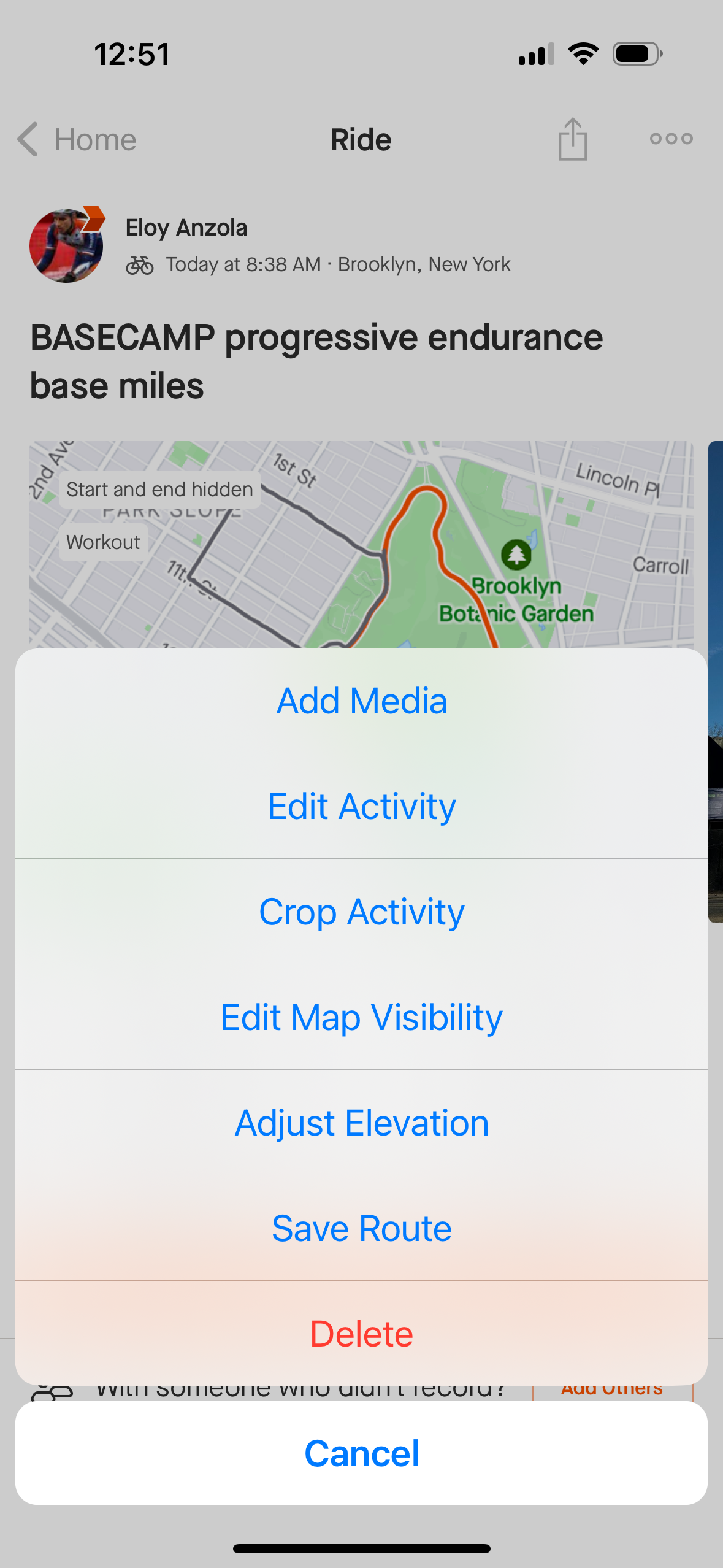
Both Strava and Training Peaks have a little button to edit post ride and use the actual topography elevation.
What's interesting is that these computers also have access to the maps, and topographic elevation, which they show in their newish "Climber" screens -- i.e. the elevation this screen shows and then the device records might actually differ!
On the other side, almost all topographic maps will underestimate the real life max gradient you'll experience in the field -- i.e. if RidewithGPS or Strava say max 16% expect it to be way over, likely 18% to 20% -- This is good to know for obvious reasons.
-- and generally, maps can be slightly off from the field.
& of course, if you deviate from a route in anyway (add to the start finish, etc) you can easily add elevation


This means that your activity has already been corrected by cross-referencing your GPS data to an elevation database. Please also remember that elevation correction is only available on the web version of Strava."